
The Three Rivers Ramble – Badby circular walk
This eleven-mile circular walk loops widely around the ancient hillfort of Arbury Hill. At 225 metres, its flat-topped Northampton Sand summit is the county’s highest point. Within the route, three rivers rise: the Nene, Cherwell, and Leam, flowing towards The Wash, the Thames, and the Avon respectively. You can start from any of the seven villages or hamlets along the way, but I usually begin in beautiful Badby, which also has The Maltsters Arms—a welcoming pub and the perfect place to finish with a well-earned cold beer and hearty food.
The route originally began in Badby, starting from the Badby Youth Hostel, which operated from 1932 to 2005. During that time, it occupied three different mid-17th-century stone cottages. When I worked for many years as a schoolteacher at Southbrook School in Daventry, I used to walk students across the fields to the hostel, where they stayed overnight, played games, and cooked a simple meal in the tiny kitchen as part of their induction to the school.
The route now connects the Jurassic Way with the Knightley and Nene Ways, forming part of the county’s established network of long-distance paths. The 12-mile Knightley Way runs from Badby to Greens Norton and continues as the Grafton Way, which meets the North Bucks Way near the county boundary at Cosgrove, a further 12 miles away. Together, these routes cross rolling countryside once owned by the Knightley family and the Dukes of Grafton. The Nene Way was the county’s first long-distance route, following the River Nene valley for 70 miles from Badby to Wansford through historic towns and villages. It has since been extended to The Wash, making the full route 110 miles long.
Badby
Badby has been described as “one of the prettiest villages in the county”, with its ironstone cottages, thatched roofs, and attractive village green. The Maltsters Arms is the village’s only remaining pub, offering walkers local ales and food after a walk through the woods and around this delightful village. Unfortunately, the 16th-century stone-and-thatch Windmill Inn has now closed. I always enjoyed stopping off at The Windmill, so I was disappointed to find that it has been closed for some time. Recent research has shown that over thirty pubs a week are calling time on last orders, with the closures worst in the rural areas of Britain. Use it or lose it, if we are to help save our village pubs.
South of the village, the route passes through Badby Woods, an ancient 180-acre woodland that began as a medieval deer park. It was designated a deer park in 1245–46 for the manor’s owners, the Abbey of Evesham, whose abbot had a grange in the village. The Abbey enclosed the wood, and the remains of the park pale—ditches and earth banks built to contain the deer—can still be seen today. They are among the best preserved in the county, especially along the woodland’s eastern edge.
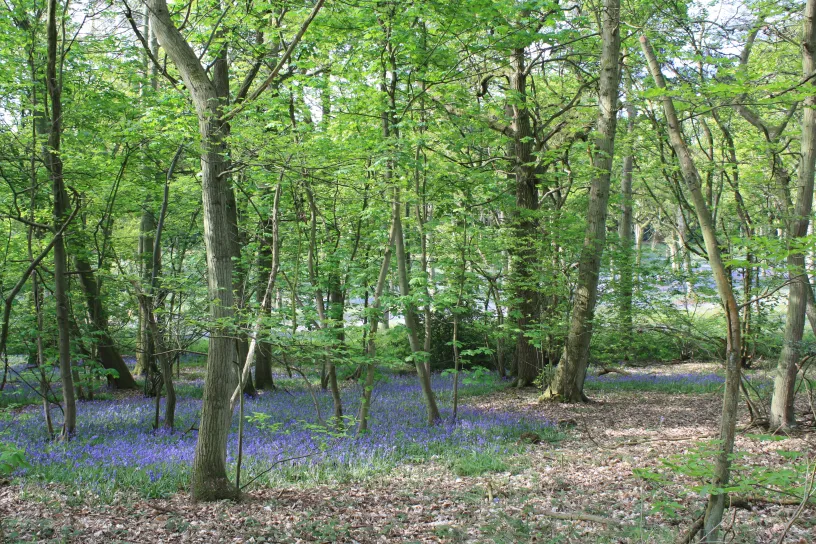
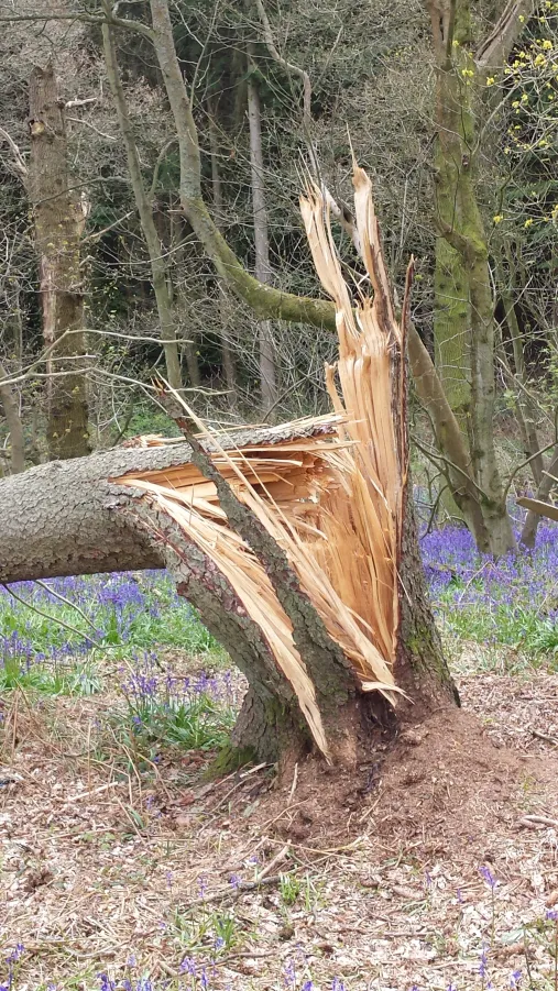
Badby woods are famed locally for its carpet of bluebells in the spring months of April & May. The woods are over seven hundred years old and were designated a site of Special Scientific Interest in 1985. You will see native Hazel, Oak and Ash trees in the wet areas down by the streams and a mixture of Birch, Elder, Honeysuckle, Holly and Rowan across much of the woodland. Woodland plants include wood anemones and wildlife includes badgers, foxes, pipistrelle bats and many birds such as the nuthatch, wood warbler and tree pipit. Within the wood there are bracken glades, ancient earthworks and streams which can at times prove awkward to cross so make sure you are wearing the correct footwear.
Fawsley:
A short walk around the eastern side of the woodland brings you to Fawsley Park, with its beautiful lakes, the isolated church of St Mary the Virgin, and Fawsley Hall Hotel, an elegant country house hotel set among formal gardens and parkland landscaped by Capability Brown in the 1760s. The name Fawsley is said to come from the Saxon words “Falepe”, meaning the colour of fallow deer, and “ley”, meaning meadow. In 1540, Edmund Knightley built the great hall, which remained home to successive generations of the family until 1938, when the last baronet died. As on many great estates of the period, sheep pasture replaced arable fields, and village tenants were evicted. St Mary’s Church now stands alone, the former village site lying beneath the lakes laid out by Capability Brown in the 18th century. Set on a grassy knoll and surrounded by a ha-ha, the church contains the Knightley tombs, which range from ancient splendour to simple elegance. Look out for the stained glass commemorating the Knightley family’s links with the Washingtons of Sulgrave, including the “stars and stripes” in their family crest.
We pass the Fawsley Hotel and turn first left at Little Fawsley, passing The Granary at Fawsley Wedding venue past and crossing the Preston Capes road & open fields to the medieval village of Church Charwelton.
Church Charwelton & Charwelton
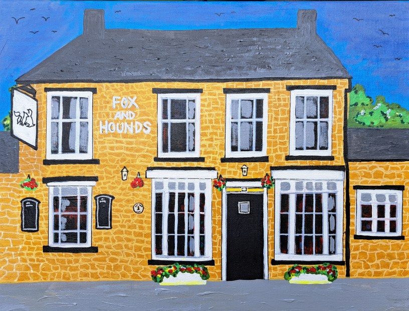
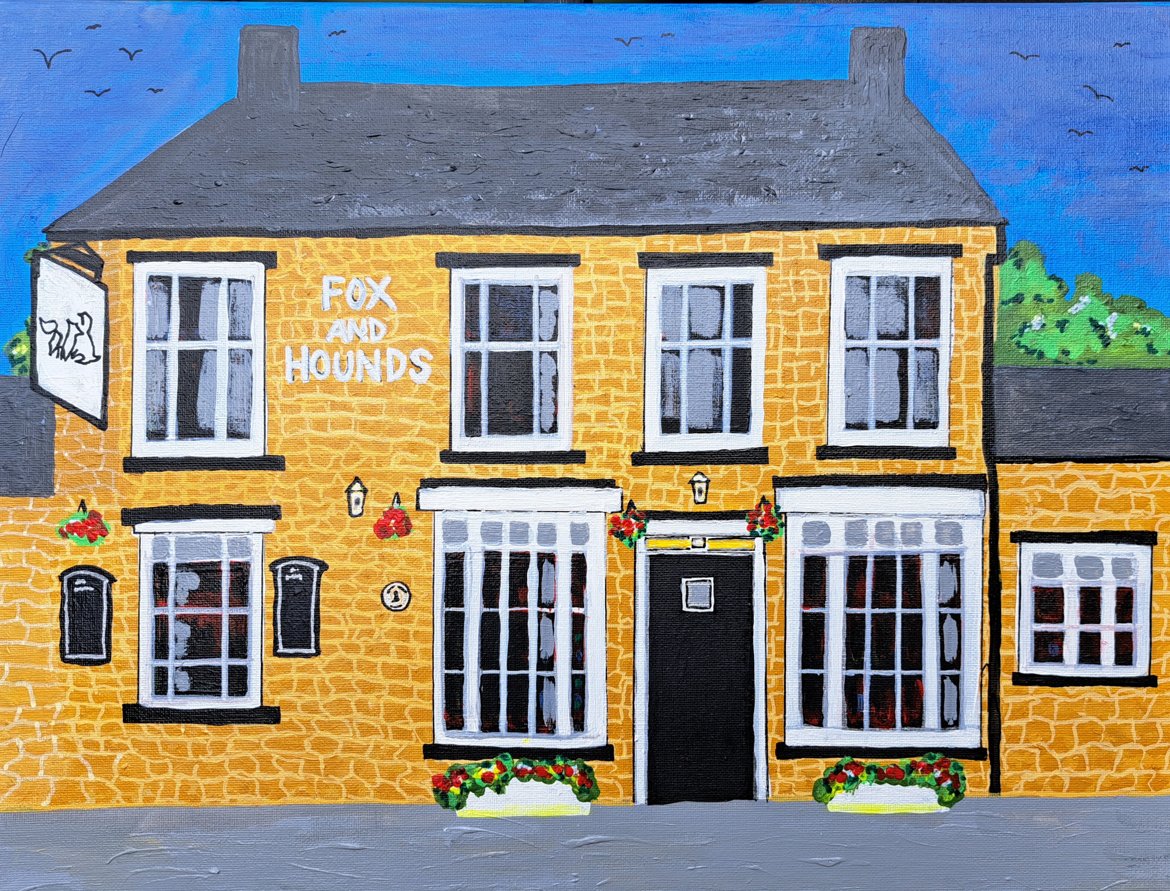
As you approach Church Charwelton, you pass one of the county’s lost villages, where residents were evicted to make way for sheep pasture. This is where we join the Jurassic Way as far as Staverton. The isolated parish church of Holy Trinity is the only remaining sign that a village once stood in these fields, there are remnants of medieval fish ponds behind the church. Continuing to Charwelton, you will pass by the old dismantled railway on your left, on the main Daventry to Banbury Road, you will find a 15th-century ironstone packhorse bridge just three feet wide. Packhorses were later replaced by horse-drawn carriages, and the narrow bridge fell out of use except by pedestrians. If you cross the pack – horse bridge you will see The Fox and Hounds, a very popular community owned village pub. Fortunately, it has been preserved for everyone to enjoy. As you walk, look out for the ridge-and-furrow pattern of the former common fields, still clearly visible and among the best preserved in the Cherwell valley. Also note the large spoil heaps on the left, left behind during the construction of the railway and Catesby Tunnel, which will be on your right as you cross the fields to Hellidon. It is hard to believe today, but there was once a railway station between the two settlements, just east of the packhorse bridge. It closed in 1963, and the line followed in 1966 as part of the Beeching cuts.
Hellidon
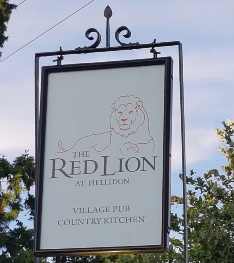
From the hill above Hellidon, the route descends gently past the old windmill on Windmill Hill, giving walkers their first view of The Red Lion, a low stone-built village pub and a welcome stop for anyone ready to rest, take off their boots, and enjoy food and drink. The windmill on Windmill Hill was built in the late 18th or early 19th century. Derelict by 1973, it has since been restored, apparently as a family home, and once had its own vineyard. Hellidon is the source of the River Leam, which rises near Leam House before flowing into Warwickshire and joining the Avon. The 14th-century church of St John the Baptist stands in the village centre. In 2020, Hellidon’s estimated population was 265, far below its recorded peak of 449 in 1861. Like many rural settlements, the village declined as farm labourers and other residents moved to expanding towns such as Daventry.
Catesby Viaduct and Tunnel
Continue through the village along Stockwell Lane, passing the church before reaching Catesby End and the gated road to Lower Catesby and the site of an old priory. Catesby Viaduct soon comes into view, crossing the River Leam at the northern end of the tunnel that once took the Great Central Railway underground from Charwelton to Upper Catesby. Still striking in the open countryside, the viaduct points the way towards Staverton, another mile away across arable fields. Look out to your left for Catesby House, up high to your right across open field.
Staverton
Staverton has kept much of its village character, despite its closeness to Daventry and the Staverton golf course and hotel complex on its eastern edge. From its position on the edge of an escarpment, the village looks west across the River Leam valley into Warwickshire, with the Malvern and Shropshire hills visible on clear days. The Countryman, formerly the New Inn, is now the village’s only pub and is well worth a visit, although there were once three, including The Windmill on Windmill Lane and The Crown, now a private house facing The Green in the village centre. After refreshments at The Countryman, follow the A425 towards Daventry, pass the garage, then cross the road to the cricket field behind the veterinary surgery. A final two-mile walk across open fields brings you back to Badby, where you can enjoy a well-earned break at The Maltsters Arms, the village’s only remaining pub.
Badby to Fawsley: 1½ miles
Fawsley to Church Charwelton: 1½ miles
Church Charwelton to Charwelton: 1½ mile
Charwelton to Hellidon: 2½miles
Hellidon to Lower Catesby: 1 mile
Lower Catesby to Staverton: 1 miles
Staverton to Badby: 2 miles
Total distance: 11 miles
The 11-mile Three Rivers Ramble is packed with historic landmarks, panoramic views, and unique natural features.
Here are the key highlights you will encounter along the walk, in order of appearance:
1. Badby Woods: An ancient, semi-natural woodland dating back to the 13th century. Badby Woods is famous for its stunning canopy of mature oak, hazel, and ash trees. The trail takes you right through its heart along a peaceful, elevated ridge line.
2. The Fawsley Estate & St Mary’s Church: A grand, historic country estate landscaped by the famous Lancelot “Capability” Brown. You will walk past ornamental lakes and the isolated St Mary’s Church, which sits entirely alone in the parkland. You can also spot the brick ruins of the 16th-century Dower House tucked into the trees.
3. Arbury Hill (The Triple Watershed):
The highest point in Northamptonshire at 225 metres (738 feet), topped by the remains of an Iron Age hillfort. While the summit itself is on private land, the trail circles its base. This hill is a rare geographic marvel—a triple watershed where the headwaters of three major rivers (the Nene, Cherwell, and Leam) rise from its slopes and flow out to different seas.
4. The Charwelton Packhorse Bridge: A beautifully preserved medieval stone bridge, dating back to the 15th century. It spans the young River Cherwell. It was originally built to allow packhorse trains carrying goods (like salt and wool) to cross the river safely.
5. Catesby Viaduct & Tunnel: Remnants of the Great Central Railway, a Victorian engineering marvel abandoned in the 1960s. As we pass through Catesby, you can spot the massive brick infrastructure of the disused viaduct. The nearby tunnel has since been converted into a world-class, ultra-modern aerodynamic testing facility for Formula 1 cars.
6. Picturesque Ironstone Villages: Hellidon, Staverton, and Badby are quintessential English villages. The walk lets you explore streets lined with traditional Northamptonshire ironstone cottages, thatched roofs, and historic country pubs (like the award-winning The Countryman in Staverton).
The Pubs.
There are four excellent country pubs situated directly along the Three Rivers Ramble route. Each pub offers high-quality food & drinks. I am planning to stop at The Red Lion, Hellidon, for refreshments.
1. The Maltsters Country Inn (Badby)
A rustic village pub at the start and finish line, perfect for a celebratory post-walk meal or drink. It features a cosy fireplace and a great selection of real ales. Famous for its Maltsters Pie of the Day, ale-battered haddock, and 28-day aged steaks. Hours on Saturday: 12:00 – 23:00.
Website: The Maltsters Country Inn
2. Fox & Hounds (Charwelton)
Situated roughly 4.5 miles into our walk, this is a welcoming country pub with a great atmosphere. It is a highly-rated option for walkers who want to stop mid-hike. Food Highlights: Known for a diverse menu featuring a crayfish cocktail, artisan pizzas, and premium grill cuts like their slow-braised lamb. Hours on Saturday: 12:00 – 23:00 Website: www.foxcharwelton.com
Located about 7 miles into our walk, this modern country inn is ideal for a late lunch or a refreshing drink before the final stretch across to Staverton. Serves modern British dishes including a Hake Supreme, slow-cooked blade of beef, and classic beer-battered fish and chips. Hours on Saturday: 12:00 – 22:00 (Lunch served 12:00 – 18:00).
Website: The Red Lion, Hellidon
4. The Countryman (Staverton)
In the final leg of our journey, after you pass through Lower Catesby, the trail travels north for 1 mile straight into Staverton.
The Countryman sits directly along the route on Daventry Road. After your break, it is a straightforward final 2-mile walk across open country fields southeast to return to our starting point in Badby. An award-winning, mellow stone country inn featuring beamed ceilings, exposed brickwork, and a cosy log burner. It has been named the Daventry District Village Pub of the Year multiple times. Food Highlights: Highly rated dishes include the pork fillet wrapped in Parma ham, lamb rump, and their signature orange & cranberry bread and butter pudding. It also features an extensive, dedicated separate vegan menu. Saturday Hours: Open all day for drinks. Regular lunch service runs from 12:00 to 14:00 and dinner from 18:00 to 21:00 (though the outdoor BBQ/pizza options for the fete will run from 12:00 to 15:00).
On Saturday 15 August, the pub is hosting its Summer Fete featuring live music by Early Nights, a outdoor BBQ, handmade pizzas, and charity stalls starting at 11:30. We may also stop here briefly!
The Maltsters Country Inn: Start / Finish (0 mi)
Fox & Hounds: Mid-way point (~4.5 mi)
The Red Lion, Hellidon: Late-stage (~7 mi)
The Countryman: Final stretch (~9 mi)
© The Travel Locker

